Description
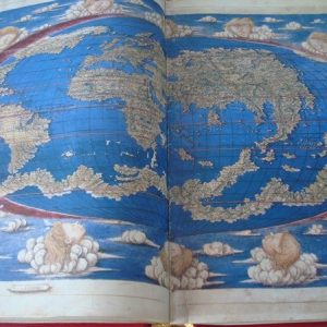
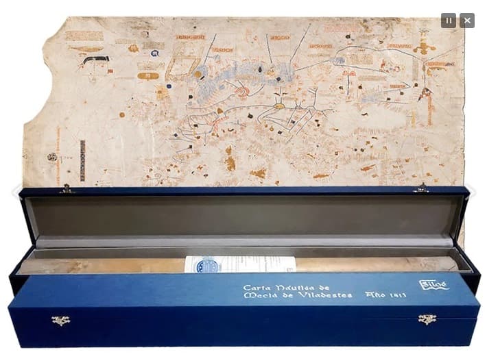
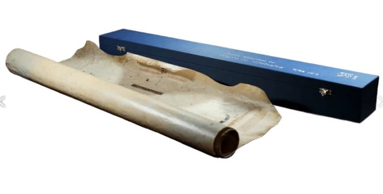
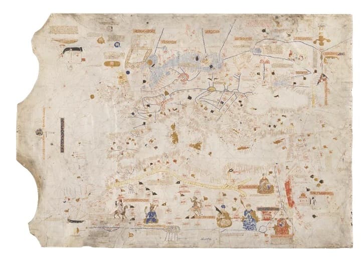
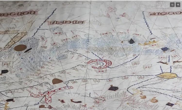
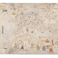
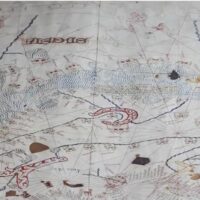
2016 facsimile edition of the “Nautical chart of Mecià de Viladestes”, from the year 1413, the original of which is preserved in the National Library of France.
Mecià de Viladestes, a great converted Jewish cartographer belonging to the influential Majorcan Jewish community, protected by the kings of Aragon. From the famous Majorcan School of Cartography.
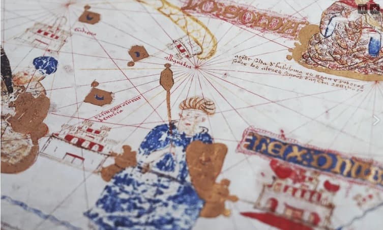
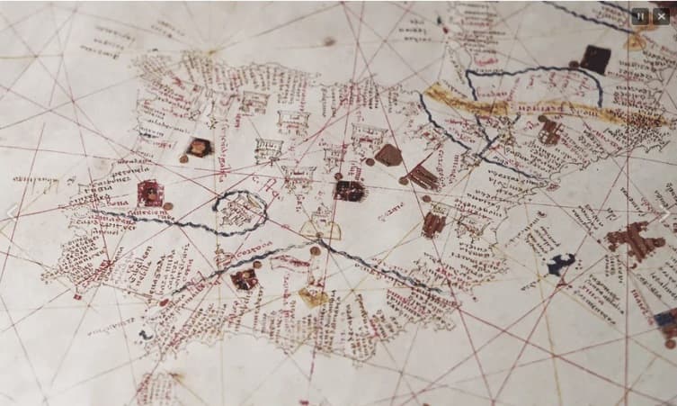
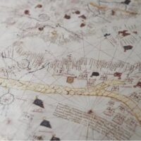
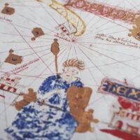
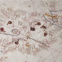
Written in Catalan-Mallorcan, it offers a very faithful representation of seas and continents. It stands out for the breadth of the space represented, its abundance of curious details and its truly extensive ornamentation with fine touches of gold.
Beautiful handwritten and illuminated portolan chart on high-quality parchment, 119 x 84 cm.
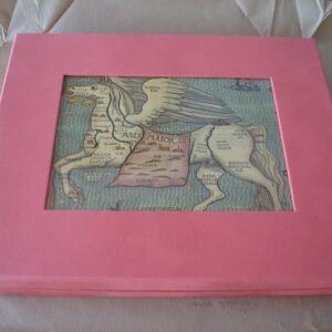
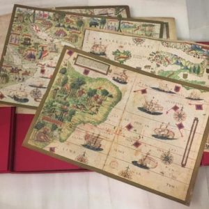
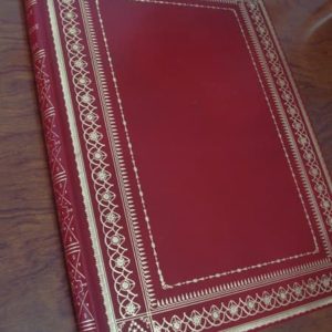
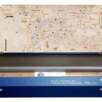
Facsimile accompanied by an important book of complementary studies and a beautiful conservation case. Limited edition of 898 numbered copies with a notarized certificate.
It is considered one of the most important cartographic jewels of the vast and rich collection of portolan charts of the BnF, recognized as the most complete in the world.
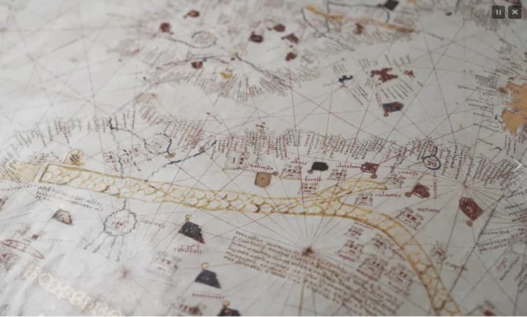
The portolan charts reached their greatest development and diffusion in the 14th and 15th centuries, although their origin should be sought in the 13th. Its characteristic grids and direction headings were outlined by accommodating them to those of the compass rose.
According to Emmanuelle Vagnon, researcher of the Map Department of the BnF, this map is undoubtedly a powerful instrument of knowledge but also an instrument of speculation and prospection to launch us into new and fruitful explorations.
In the 15th century, many cartographers took great pains to recreate a multitude of aesthetic details and splendidly decorated their portolan charts. What was initially an indispensable navigational tool, in many cases became a true piece of art that, instead of being carried by hand on the boat, was displayed on the large and beautiful table of a great hall or hung on the walls of castles and palaces of kings and nobles, for their greater delight and contemplation or even as a prized gift or display.
According to Marta Fernández Siria, from the University of the Balearic Islands, and contributor to the complementary studies book on the facsimile: “The interest in the nautical chart of Mecià de Viladestes (1413) does not only lie in the undoubted decorative richness that it possesses and in the valuable information that it provides about the image and meaning of the world at the end of the Middle Ages. Its exceptionality is such that it also allows it to be the epicentre from which we propose to reflect on how and to what extent scientific and artistic knowledge formed part of an art, that of the mestres de mapamundis and buxolers —masters of world maps and witch-hunters—, in which merchants and navigators participated, but also the most demanding elite of the time.”
The same author tells us that “during the 14th and 15th centuries, the Crown of Aragon experienced a real boom in cartographic production and acquisition. From an early chronology, the nautical charts made on the island of Mallorca stand out, being the production centre par excellence. The numerous news reports that report works carried out on the island, the reputable diffusion of the same, as well as the specific trade of the masters, have given rise to the consideration of this production and its creators as part of a common environment called the Mallorcan school. In addition to this centre of undoubted importance, other Italian maritime powers such as Genoa and Venice had an important cartographic production, without forgetting the activity developed in Barcelona.”
Mecià de Viladestes was trained in the important workshop of the Cresques Jews from Mallorca, and participated in the extraordinary development of Mallorcan cartography that at times would not only equal those powerful Genoese, Venetian and Pisan cartographic schools, but even surpass them in certain aspects.
Complete, new, brand new copy.
Free shipping costs for this item. Ask us any questions, indicating the article reference.